


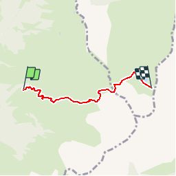


11 km | 21 km-effort


User


FREE GPS app for hiking
 SityTrail
IGN / Geographical institutes
SityTrail World
The world is yours!
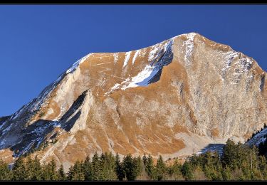
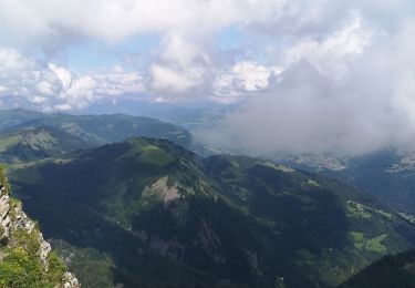
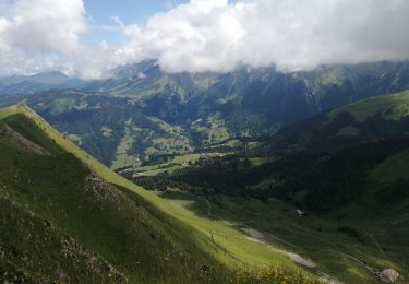
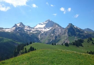
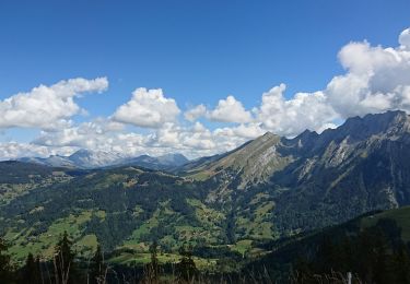
Trail Walking of 3.7 km to be discovered at Auvergne-Rhône-Alpes, Upper Savoy, Le Bouchet-Mont-Charvin. This trail is proposed by castellas83.
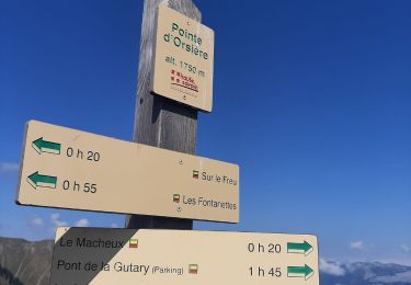
Montée 2h15
Descente 1h45
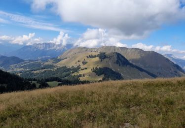
Superbe vue sur le Mont Blanc
Walking
Walking
Touring skiing
Walking
Walking
Walking
Walking

Touring skiing
Walking